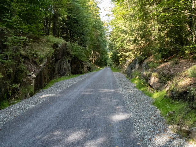
On Wednesday I took my new ebike to the new rail trail between Saranac Lake and Lake Placid, NY. The currently open trail is 10.25 miles from its intersection with Rt. 86 on the North side of SL to the old train station in LP. I took my Olympus TG-6 for the photos in this post and started at the parking area on the South side of town.
There is parking on both sides of Rt. 86 at that point and both are paved but the trail South from there to LP is fine gravel over a firmly packed surface. I did not shoot any photos going to LP. What grades there are easy and I am pretty sure I could have ridden it with an ordinary bike although I still need to get in better riding shape. I hadn't ridden in over two years before getting the ebike only a couple of weeks ago so I may be overestimating my ability to do 20+ miles unassisted.
At the LP end the parking area needs work. It isn't paved and is pretty rough. The fat tires on my bike handled it but I wouldn't like to ride a narrow tired bike across it. Although I was not aware of it going to LP it is about 250' higher than SL so much of the trail is a long gradual uphill. There is a low point between them so the total elevation change was 889' for both directions combined according to my tracking app. On my return trip, I turned the pedal assist off for around 2/3rds of the way because it was downhill. I had only used the lowest level of assist going to LP.
All the following photos were taken on the return trip. If you click on them, you will get a larger version.
My bike at one of the bridges.
Wild Morning Glory AKA Bindweed.
Beaver dam with Jewelweed.
When I arrived back at the parking area I asked another biker if the part on the other side of Rt. 86 was also open and he said it was so I rode that section as well. It is all paved between the South and North crossings of Rt. 86, about two miles, and IMO has the best scenery. There are several road crossings on this section.
The view in this spot was the best, so much so that I shot it from a different angle on the return trip.
The old RR buildings (below) are not currently being used but there is another paved parking area there that could be a good starting point if you are coming from the North.
The currently completed sections end by BluSeed Art Center but reports say that the next section will be completed this fall, perhaps even later in the month (August 2024). That section will include the causeway across Lake Colby. I think I will go back when the autumn leaves are out
Above is the other angle on the view I mentioned above. I can see the trail becoming popular with plein air artists as well as walkers and bikers.


