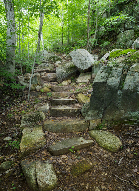
The Clarksboro Trail on Tooley Pond Rd. is named for a small community that existed around there in the 1800s. I have looked in my St. Lawrence County histories (Hough & the 3-volume Landon set) but find no reference to it consequently I don't know much detail about when it existed or how large it was. I have been told that it was an iron mining operation. The photo above is the start of the trail on the Tooley Pond Rd which runs from DeGrasse, NY to the vicinity of Cranberry Lake.
The trail follows a rough and rain-rutted old logging road up a fairly steep incline. The photo below looks down that road. It is not a promising start to the hike.
At the top of the incline is a clearing that served as a staging area for the loggers and if you look to the right there is a blue disk trail marker on one of the trees. After going through a copse of trees you come into a blackberry patch which is a bit confusing due to a web of herd paths created by berry pickers. It is even more confusing coming back out. I ended up bushwhacking back to the clearing on the way out. I was probably paying too much attention to the abundant blackberries and not enough to trail finding.
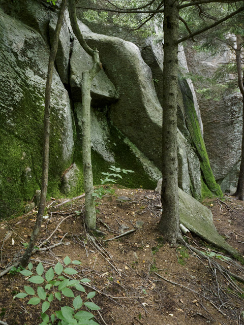
After re-entering the woods it isn't far to "the wall", a 70' high rock face. This is a 3 frame stitch panorama that really doesn't do it justice IMO but I didn't have anyone with me to provide scale.
I shot a horizontal panorama which makes it look curved. It isn't. It is relatively straight.
In a large crevice high up on the right was a twig nest, perhaps for a Peregrine Falcon?
It did not appear to be occupied. The trail turns left along the base of the rock face and follows the contour of the land around and upward.
Beyond that and near the top was a lovely stretch of woods with ferns. The trail turns sharply right in the ferns and from there, it is fairly level to the two overlooks at the end of the trail, the first being a right turn that takes you past a glacial erratic and the other straight ahead.
Past the boulder is the viewpoint. It is a nice view at any time of year but I suspect a spectacular one in autumn.
The second overlook is to the left and can be reached by a herd path but it requires going down a fairly steep rock face which might not be a good choice if it is wet. In any case, it is only a short hop back to the trail and then to the right. The view is similar. I forget which one I found this small birch on.
As with any trail, you see different things going back down.
This thistle was in the middle of the logging road.
My AllTrails app failed to record the stats for the hike. The trail is not on AllTrails and the app insisted that I had gone to Sinclair Falls which is on the other side of the road. It is a fairly short hike that is not difficult. The rock face alone is worth the hike. The steepest bit is the old logging road at the start. I will be doing it again and I may make a video of it. Enjoy.
All the photos were made with an Olympus OMD E-M5 III and a 14-150 mm lens. All processing including panorama stitching was done in Adobe Lightroom Classic.


